Written by Rohit James Edited by Kashmira Dubash
In Pune and Pimpri-Chinchwad, 96% of residents live within a 500m walkable distance of a bus network. But, as per Pune Mahanagar Parivahan Mahamandal Limited (PMPML) schedules, one-third of these residents don’t have access to buses which are available frequently – every five minutes. Therefore, a lowly 12% of the trips made in the region are via bus transit.
Written by Rohit James Edited by Kashmira Dubash
Though a five-minute wait seems ideal, this figure is an aggregation of areas with high bus availability and low ridership and of localities with low bus availability and high ridership.
This begs the question, what good are extensive transit systems which can’t ensure accessibility and high frequency. These are some of the key arguments the People near Transit (PNT) report, prepared by the ITDP India Programme, raises with regard to access to public transit and surging personal motor vehicle dependency in the Pune Metropolitan Region.

Why accessible public transit matters
Why accessible public transit matters
From time immemorial, cities have been built upon transit. Be it citadels built around trading routes to present-day cities with interwoven networks connecting residents to their place of work, education, leisure, etc. Hence, transit and accessibility to these systems remain central to the development of societies.
Indian cities have been growing at a tremendous scale. This growth poses many urban transportation challenges and though tottering, public transit has stood its ground as an indispensable public utility. But as the automobile industry’s clout grows, more motor vehicles, of various kinds, offer “freedom” at the cost of congested roads and choked cities.
Whereas, accessible, affordable, and frequent public transit offers a guarantee for mobility, which also furthers the economic and social mobilisation of citizens.

PNT analysis: Finding the gaps in the system
PNT analysis: Finding the gaps in the system
Basically, the PNT analysis measures how well a city provides transit access to its residents. The USP of the analysis is that it works on secondary sources to formulate the assessment. Quite handy for Indian cities, as most lack primary data on transport operations and functions.
To start off, PNT requires basic data like ward boundaries and their population to establish demand. Next, details regarding the routes, schedule, and station placements of various modes — such as bus and rail — help ascertain accessibility and frequency of these modes. These data points, in a digitised GIS format, find accessibility levels of public transit and identify gaps in the system.
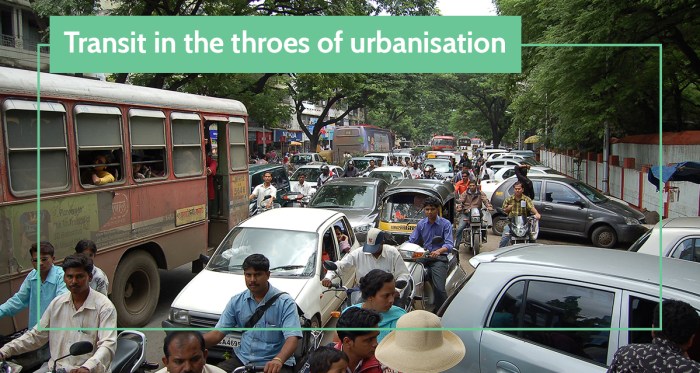
Image credit : Flickr
Image credit : Flickr
In the last two decades, the Pune urban agglomeration, including Pimpri-Chinchwad, has witnessed a steep economic and population growth. The IT (information technology) boom orchestrated a massive migration to Pune city. This advent doubled its population, but it pales in comparison to the city’s vehicle population — which grew by 700% in the period.
Adding to the congestion is the issue of urban sprawl. A symptom of urbanisation, urban sprawl is when cities grow unplanned towards their peripheries. It is estimated to cost Indian cities close to $1.8 trillion per year by 2050. Presently in Pune, this outward sprawl forces 48% of its trips to be longer than 5km. And in situations where public transit isn’t readily accessible or frequent, many residents — of areas like Shivane, Pirangut, Wagholi, etc., — are forced to use two-wheelers to commute.

Who bears the brunt
Who bears the brunt
Many high-density areas like Dhanori, Kalyani Nagar, Warje-bypass, Pradhikaran, Talwade, etc., fall under the category of transit deserts. These are sections which do not have access to frequent transit — a public transit available every five minute — within a 500 m walking distance. Here’s where the “ideal five-minute wait-time for a bus” takes a hit, as accessibility (or lack thereof) to public transit trumps the former.
At the onset of this piece, we spoke about how mobility is key for the economic and social mobility of citizens. Now, interlay the situation of the lack of accessibility with the need of the people residing in transit deserts. There are breadwinners who struggle for hours in transit to reach work and back; caregivers whose daily regimes pivot around that one over-crowded bus and missing which throws the day into a chaotic convulsion of catching up; and then children whose means to education literally hangs on the footboards of these overcrowded buses.
In Pune region, work trips account for half of the total trips. As per the PNT report, only 62% of employment centers have access to frequent public transit. Key employment areas near Mundhwa and Bhekrai Nagar are transit deserts. While 40% of school-children don’t have access to frequent transit services to their schools.

Getting transit near people
Getting transit near people
Transit interventions best work when they take into account the needs of every citizen. Despite being capital-intensive, the much-anticipated Metro Rail project, running through the twin cities, will be accessible to only 10% of people within a 500m walking distance. Even with the Rainbow BRT (existing and upcoming), rapid transit is accessible to only 25% of people.
Now, with 23% of low-income sections not having access to frequent transit, investing in rapid transit projects with high-cost and low returns (or ridership) is a self-inflicted “catch-22”. Neither is the Metro accessible nor would it be affordable to a vast majority of the public. As for the BRT, the lack of fleet expansion and network limitations bottle up the system’s potential.
The PNT analysis has some concrete and well-versed answers to the twin cities’ dilemma of improving public transit that works to serve all. These are:
- In sections with low access to public transit, specific corridors can be introduced to intersect high-density areas and high-frequency corridors. Subsequently, PMPML needs to rationalise routes to ensure accessibility to frequent buses is uniform across the board.
- Running smaller feeder services, in transit-deprived sections, ensure residents have access to the PMPML bus network. By extension, it also helps curtail the dependence on personal motor vehicles.
- BRT and PMPML high-frequency routes could potentially facilitate multi-modal integration by connecting to the Metro — hence improving the latters’ ridership. In fact, fare integration would ensure footfall as these transfers would be affordable.
- Densification under transit-oriented development (TOD) will help more residents get access to existing corridors in the future.
- Low density areas in TOD zone need local area plans (LAPs) to ‘infill’ them with densities. Similarly, high density areas in TOD zones need LAPs to improve street network and public spaces.
- By adopting PNT as a tool in preparing and revising the development plan and identifying mass transit corridors, cities can ensure better integration of land use with transport needs for the future.
The PNT report provides a thorough glimpse into the current capacities of public transit operations in Pune and Pimpri-Chinchwad. At the same time, the analysis can pave the way for interventions that can maximise the density of city layouts, accessibility, and frequency of public transit; while minimising urban sprawl, transit deserts. To conclude, PNT is an instrument for change that holds the potential to shape public transit that serves maximum and pollutes minimum.
Recent Blogs